| | |||
|
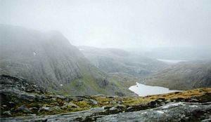
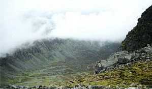
Beinn Dearg Cona' Mheall Meall nan Ceapraichean Map Overcast. I set off at 10.15 from Inverlael which is about 6 miles south of Ullapool, just past the end of Loch Broom, and walked up through the forestry plantation trying to find the right track. On the way I met a lad from Edinburgh who was also trying to puzzle out the route and walked along with him for a while. Our combined brains still went wrong, of course, and we got to a point where we could see the path some way off to our left across some felled tree remains and over a stream. I didn't want to backtrack so we yomped through the tangled pine tree remnants to the stream where I crossed quickly using whatever stepping stones I could because I thought he was right behind me and didn't want to hold him up. I got across OK but Edinburgh was more circumspect, sitting on the bank and cautiously feeling his way forward... and consequently slipped and stepped up to his ankles in water, hohoho. He looked a wee bit exasperated at this and turned back saying he'd try further downstream so I left him to it and carried on alone. (He overtook me 20 mins later when I was putting my waterproofs on during a short spell of rain - he walked quicker than me though, being about 25 years younger.) Anyway after I'd left the forestry bit I followed a long, long gradual ascending path for 5 or 6 miles and was getting a bit weary by the time I reached the small lochan below Beinn Dearg. There were three tents there but no-one around. I saw a dipper on the way and possibly an eagle circling - although it might have been a buzzard. By now it was all very misty, enveloped in cloud and odd spots of rain, and suddenly a party of Germans appeared out of the murk, coming down from the mountain. I asked one of them if there was a path all the way to the summit and he said that they hadn't been able to find the path and because it was misty they'd turned back without getting to the summit. I was quite shocked - well, no wonder you lost the war, I thought. Five minutes later I met a second party of Germans and they said exactly the same thing but added that there were some other folk further up. In the end it was easy enough; it's all steep and rocky but there is an old wall which leads up the mountain and you just have to follow it up. Where the wall veers to the right you hop over it and continue up over a rounded summit to the large cairn at the top (1.45 pm). I'd met Edinburgh again on the way up - he was coming down, of course, and was on his way to the next one. I set off back down at 2.00 and regained the col (or bealach as I think they call them in Scotland) which is the central point between the three mountains.
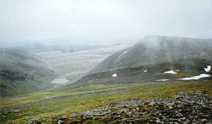
The mist cleared a bit so I could see where I was going and I walked over to the next Munro, Cona' Mheall, with a fairly short, easy ascent up rocky ground to the flat top - Cona' Mheall has a sort of rectangular shape - with a small cairn (2.50 pm). Returning to the bealach I passed a ptarmigan on a rock and came as close as 7 ft to it before it started to get nervous. I spoke reassuringly to it as I walked past and it didn't fly away. Descending into mist again I immediately got lost by trying to take a short cut. It's difficult to navigate when you can't see any reference points and on top of that the compass seemed to be pointing in odd directions - I think it may have been deflected by something in one of the mountains. Anyway I lost about 20 mins stumbling around an eerie lunar landscape in mist and silence before finally finding the right way. After that it was an easy walk up the last hill - Meall nan Ceapraichean. I reached the top at 4.05 pm.
I then had a long, long walk back to the car - saw a frog and a brown caterpillar with golden bands but they didn't say much. | |||

 | |||


