Beinn a Bheithir (Hill of the Thunderbolt):
Sgorr Dhonuill
Sgorr Dhearg
Map
After my nourishing breakfast at RowanLea I drove down to Ballachulish and along the Oban road
for about a mile before parking in a woody glade at the start of the forestry track to the hills.
It was cloudy at first but soon improved and became a very fine day.
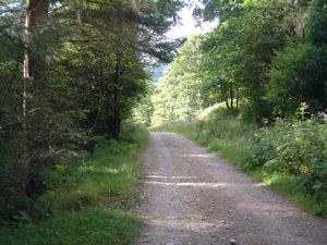
The start of the forestry track
|
I set off at 9.20 and walked up the forestry track; easy going but I missed the way and ended up
going the long way round. Still, I eventually got to the concrete bridge mentioned by the
guide book and found the cairn marking the start of the path. From there the path follows a
stream up through the woods - it's a bit grassy and muddy and quite steep in parts. Then on
emerging from the trees the route led over grassy, open countryside following a rusty fence up
an easy incline. It came to a flattish bit and then steepened once again for the final climb up
to the col.
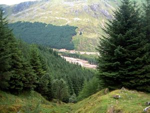
The end of the path through the woods
|
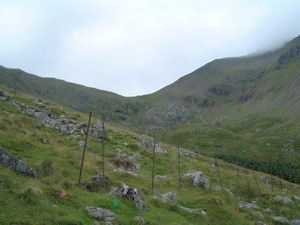
The rusty fence
|
I was sweating by then and starting to get 'joggers nipple' so I stuck a couple of plasters over
them - seemed to do the job ok. At the col I turned west to climb Sgorr Dhonuill, which I found to
be the more interesting of the two peaks topographically. The first stage is an easy ascent to a
ridge where the ground levels off but becomes quite narrow in places with steep drops on either
side. Then after the level bit there's a final steep scramble up bouldery slopes to reach the
top - a place of grass, boulders and a cairn (12.05). That last stretch isn't overly difficult
but you do need to take care as it is steep and hands are needed.
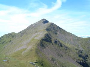
Sgorr Dhonuill
|
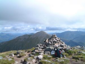
Summit cairn, Sgorr Dhonuill
Sgorr Dhearg is in the background |
Magnificent views all round at the top - the sea to the west, Ballachulish to the north and the
peaks of Glencoe to the east. Very nice.
I sent a text message to Trisha, took some photos and had a bite to eat then set off back down
at 12.40, reaching the col by 13.10 and the top of Sgorr Dhearg by 13.45. The ascent of this
peak is a simple, undemanding walk up the gently-sloping, stony, south-west flank of the mountain.
At the top is a broad, flat, stony area crowned with a small cairn - there are steep drops to
the north-west.
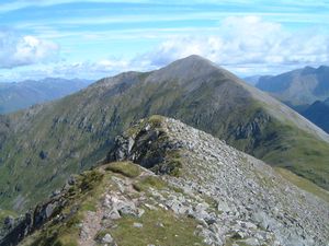
Sgorr Dhearg from the descent of Sgorr Dhonuill
|
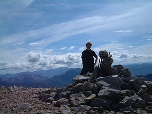
Me at the top of Sgorr Dhearg
|
Looking over to the next hill I could see someone was making his way towards me
via the connecting ridge, and there were another 2 people just setting off from the col, using
the same route up that I had used. I didn't get to meet any of them, however, for I had decided
to descend via the northern ridge - which proved to be a nice, varied route with narrow, scrambly
crests in the early stages changing to broader, rounded grassy terrain further along.
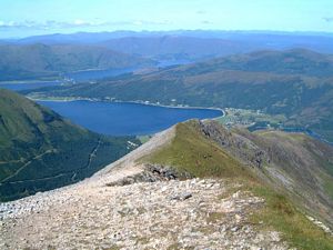
The way down
|
Eventually I veered left and yomped down a purple hillside to regain the forestry road. Here I
made the mistake of going the wrong way along it and ended up going all the long way round yet
again. Ho hum. It took me into the sun and as I had rather annoyingly left my sunhat in the car
I got a bit burned. I got back to the car at 4.50.
I stayed in the Monday night B&B in Ballachulish again. This time I had a meal in the Ballachulish
Hotel, just under the bridge on the Oban road. Wild mushroom risotto and new potatos, baby sweetcorn,
broccoli and mango chutney. OK. £8.50.
|


