Ben More
Stob Binnein
Map
On the Sunday (26th) I left Penrith and drove up to Crianlarich intending to do Cruach Ardrain and
Beinn Tulaichean but it was raining steadily and I decided not to. Stayed in B&B just outside
Crianlarich on the A85 - £27.50.
That night I realised I'd left my ring behind at the previous B&B - the second time I've done that.
I rang them up and they said they'd found it though so all was well.
On Monday the day dawned overcast but dry so I decided to have a bash at the two larger
mountains near Crianlarich: Ben More and Stob Binnein. These are respectively the 16th and 18th highest
hills in Scotland.
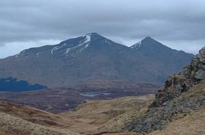
Ben More and Stob Binnein as seen
from the descent of Ben Challum
earlier in the year
|
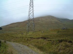
The zig-zag cart-track at the start
|
I started at the layby a quarter of a mile or so east of Benmore Farm (9.25) and walked back along the road almost
as far as the farm to where a small sign pointed the way to Ben More.
A zigzag cart track (not shown on the OS 1:50000 map) took me up the lower slopes of the mountain and
when I came to a small cairn by the side of the track I turned off and made my way directly up the hillside.
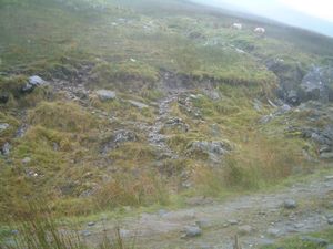
The easily-missable cairn which
marks the way up
|
Grassy and a bit boggy it was fairly uniformly steep but not excessively so. A steady plod upwards
gained height quite quickly although there was not much sign of a path until the upper reaches.
Then suddenly out of nowhere a quite distinct path appeared, making the going somewhat easier, and
it became a straightforward pull up to the top (11.40).
There is a cairn at the top and, about 50 yards away, a trig point which I took to mark the summit.
It was a bit breezy there. Light cloud was obscuring the upper parts of the mountain so no views were
available - you could see a couple of hundred yards around but not down into the valley or across to
the next mountain so no landmarks were visible. Still, the path was quite distinct and the compass
confirmed it was going in the right direction so there were no navigation problems.
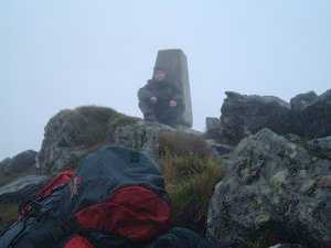
Me at the top of Ben More
|
After a quick bite to eat, photo and text message to Trisha, I left the top (11.50) and followed the
path south down the hill to a broad col named the Bealach-eader-dha Beinn ('the pass between two hills').
Approaching this col I met the first person of the day, a lad on his own coming the other way. I'd
seen him below me on the cart track earlier, shortly after I'd turned off it, but he had kept on going,
doing the route the reverse of the way I was to do it. He grunted hello and passed on his way.
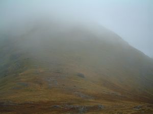
The col between Ben More and Stob Binnein
|
From the col it was another straightforward climb up Stob Binnein along an easily discernible path.
There were steep drops to the left (east) and when the cloud occasionally cleared there were brief
glimpses of a great, broad corrie and glen below, dotted with pools and streams. The hillside was quite
stony and there were strong winds pushing me towards these cliffs.
I reached the small summit cairn
at 12.50; there it was quite steep on all sides except for the way by which I'd ascended. There was
no signal for the mobile there, being further from civilisation than Ben More and blocked by that
mountain's massive bulk.
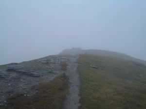
The view back down from the top of Stob Binnein
|
Nothing to linger for so I left the top at 12.55 and returned to the col. I was going to head off west
over rough ground then, but fortunately I glimpsed a path a bit further along and some feet higher up,
running round the side of Ben More. A couple of figures were just disappearing along it. I walked over
to the path and followed it down into Benmore Glen where I eventually picked up the cart track and
returned along it.
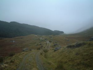
The two walkers on the cart-track
returning to Benmore Farm
|
It had been wet on the tops - not really rain, rather cloud moisture driven against you by the strong wind.
Wet enough though. Now it started to rain lightly during the descent, which was quite steep but easy,
over grassy terrain. A couple of times I almost caught up with the two walkers I'd seen but then I'd
pause for a photo or something and they'd pull ahead again. I finally met up with them near the end
when on the cart track (incidentally on the way back it's easier to cut across the loops in the road
and go directly down the hill). They were a Scottish couple, a bloke and his wife, aged about 60 and 45
respectively. He said he'd done these hills many times but had omitted Stob Binnein today.
I arrived back at the car at 14.55 having completed the round trip in 5.5 hours. Not bad, I thought.
Drove back down to Penrith the same day and stayed at the Acorn again, where I recovered my wedding ring.
|


