Day 9
Monday 28th May 2012
Hawes to Keld
Another hot day. Only 12.4 miles to go today, I thought, so I didn't rush. I
paused at the Post Office as I was leaving Hawes and sent my mini-tripod and
the first section's map back home, then suitably lightened by at least 6 ounces I set
off for Keld at about 9.20. It was more sheep country today - pastures and dry
stone walls with a few low, rounded fells in the way.
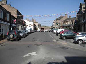 Early morning Hawes
 |
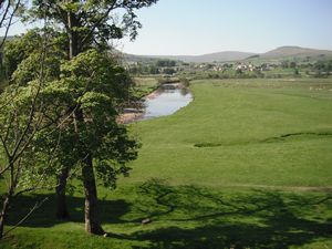 Leaving Hawes - view of the River Ure
 |
The first stretch took me to Hardraw, two miles away, and there followed a
five mile long, gradual climb up to the summit of Great Shunner Fell. At the top
I managed to get a phone signal for the first time in a while so I sat and sent
a few progress texts to people. Also let Trisha know I was ok. She was at hospital
having a scan but said she was ok too.
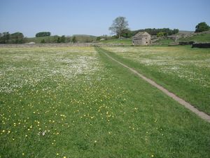 Approaching Hardraw
 |
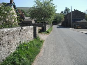 Hardraw village
 |
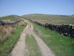 The long ascent of Great Shunner Fell
 |
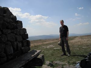 At the top
 |
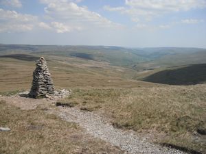 On the descent from Great Shunner Fell
 |
The signal disappeared as I descended and
I had a long drop down to the village of Thwaite where I knew there was a tea shop.
The lure of this drew me on but the final stretch seemed to take forever - so long
that I was composing Tea songs by the time I got there, maddened with thirst.
(Something like 'Teeea, wonderful tea; T is for Thomas, that's for me…' I need to polish it a bit maybe)
Anyway I finally arrived at the Kearton Tea Shop (the sign actually said coffee house but
we'll ignore that, eh) and had a fine pot of tea and a lump of cake. It was very welcome. From Thwaite
it was then supposedly only three miles to Keld but those three miles seemed to
go on and on and on - well for an hour and three-quarters anyway, which felt like
long enough at the time.
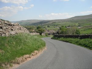 Approaching Thwaite
 |
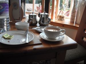 a nice cup of tea
 |
First there was a slog uphill then the path became very stony and rocky - needed
to place feet carefully and the shifting footage made for slow progress and sore
feet. The day was getting hotter too, bereft of yesterday's cooling wind, and I
was soon getting a bit dehydrated again, much the same as I had been for most of the
last few days.
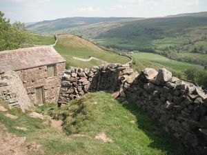 Just out of Thwaite & heading for Keld
 |
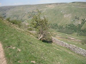 High-level contouring around Kisdon hill
 |
As I ambled along I was getting a bit tired as well as dehydrated,
and this last section, following the contours round the hillside of a deep valley,
was becoming a never-ending slog.
I realised it was getting to me when I found myself trying to think up
an ovine equivalent to 'How now, brown cow?' with which to address the local sheep.
'Safe keep, white sheep' was my best effort but this didn't impress them at all
and when I changed tack and tried to charm them by singing the
'Bom, bom, bom, bomb a bommm…' of the Darth Vader theme tune they edged
warily away.
Yes, well, alarming what sun and lack of water can do, eh!
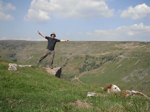 Elderly exuberance
 |
Pulling myself together I stopped talking to the local fauna and eventually got
to Keld where two old boys sitting on a bench directed me to Butt House. A very
nice B&B. There were only two other people staying there, Dan and Layla, a pair
of Canadians who were doing the Coast to Coast walk. Lynda, the landlady, was a
vegetarian and cooked us a very nice evening meal for £15: curried banana soup,
courgette-and-something crumble, and ginger sponge and custard. Very nice. She also
gave me the number of a place called Clove Lodge as an alternative to staying in Bowes. This proved
to be very useful as Bowes turned out to be full up. Later Trisha booked me in at Clove Lodge
(Balderdale) for the following night.
Distance: 13.9 miles
Average speed: 2.2 mph
Total ascent: 3494 feet
Total Distance: 128.84 miles
|
