| | |||
|
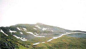
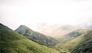
Sgurr Eilde Mor Binnein Mor Na Gruagaichean Map A cloudy miserable day. I left Fort William about 8:30 but as I approached Kinlochleven it was doing steady light rain and not wanting to set off in that I parked in a layby and waited to see if it would change. About an hour later it had more or less stopped, though still looking likely to do a bit; nevertheless I carried on to Kinlochleven, parked the car by a large factory and set off about 10:05. Up the wrong route. I'd crossed over two streams coming into Kinlochleven instead of one! Consequently I followed the large water-pipes up the hillside for about 40 mins wondering how on earth it all corresponded to the map. Eventually enlightenment came and it was back to the car and back down the road to the correct starting point from which I finally set off at 11:05. Grrr! The early stages were a steep climb up a path through woodland - not conifers thankfully. Then having emerged from that I plodded on through mist. I was sweating with the exertion despite the cloud and too hot to put the Berghaus on, so I carried on in shirt-sleeves - passing a yankee couple coming from the other direction with umbrellas up! Hohoho. I also overtook a mixed party of a about 11 people, mostly my age but faffing considerably. As I caught up with them they stopped for a rest and were getting the thermos flasks out. There was a distinct path to follow and it was a long gradual climb up to the high lochan (Coire an Lochain) below Sgurr Eilde Mor, then a trek round its southern side, and up the final steep scree slope to the summit (2:00). A fairly barren spot. There were breaks in the cloud and it wasn't raining now so I could see some of the valley below and across to the surrounding peaks. I had hoped to do 4 munros today, Binnein Beag being the other one, but because of the early delay and the false start, not to mention the fact that I'd used up a fair bit of energy doing just one, I thought I'd pare it down to 3. Met a couple at the top who set off down the way I'd come.
I descended west towards the north side of the lochan and then set off up the path to the bealach between Binnein Mor and Na Gruagaichean. This got steeper and steeper as it approached the ridge and the path kept disappearing under banks of snow which, rather worryingly, didn't have any other footprints across them. It was a bit dodgy in places, being so steep by now and also the ground in places had large cracks running through it as if it was about to peel off and break away from the hillside. At last I got to the top but there I was faced with a great wall of snow about 12 ft high, a big lip of snow clinging to the edge of the ridge, and I couldn't get up it. For a suicidal moment or two I contemplated digging my feet into the snow and climbing up it but sanity quickly returned. Instead I angled sideways to where there seemed to be a gap in the snow. This was away from any path though and very steep - was getting a bit anxious. But using cold fingers and the walking pole I managed to warily scramble up to the ridge. All a bit scary - God was implored - and later thanked.
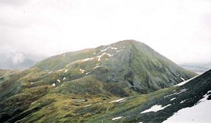
After that it was fairly straightforward following the ridge over a 'top' which is un-named on the OS map and on up to the rocky summit of Binnein Mor (4:20). The ridge was narrow in places, steeply falling away on both sides, and covered in snowdrifts here & there. Footprints led over the snow, however, so I just followed them, hoping there was something solid beneath - a bit disconcerting. There was a short ridge at the top and I went along it to the end just to make sure it was properly copped. Still a bit misty but I could see down to the bottom ok. I returned to the 'top' on the bealach and turned right there down a sharp, stony ridge and then up again to the summit of Na Gruagaichean. Rocky top and cairn (5:15). From there I followed the spur south and when the path disappeared I just made directly for Kinlochleven which I could see in the distance. It was a steep descent down the grassy/rocky hillside but fortunately the light rain stopped just after I left the summit - before that it had been an intermittent light drizzle sandwiched between some dry periods.
During the final descent there were some wonderfully atmospheric views of Kinlochleven with striking light-and-dark contrasts spilling across the landscape beneath the brooding clouds - it would have made a great photo but I had used up all my film taking poor middle-of-a-cloud shots earlier. A shame. | |||

 | |||


