| | |||||||
|
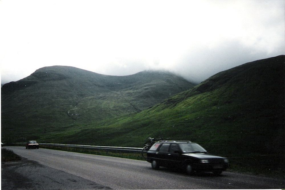
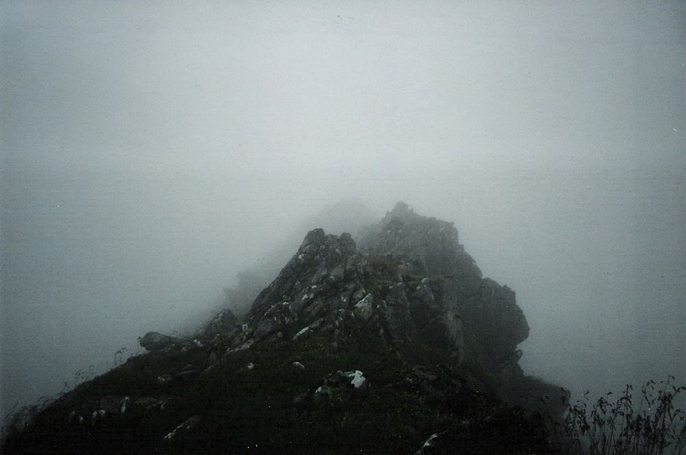
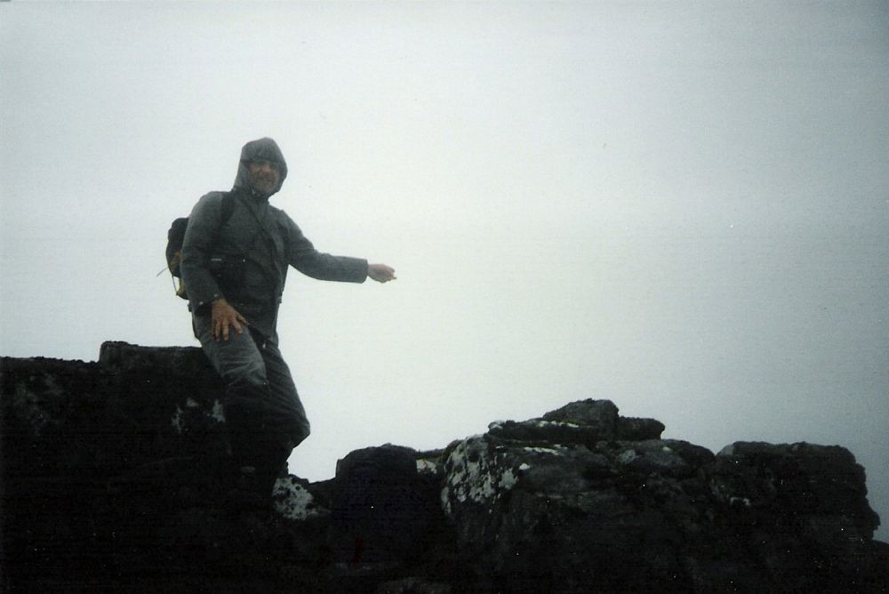
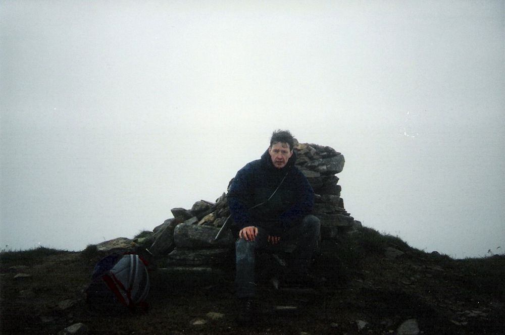
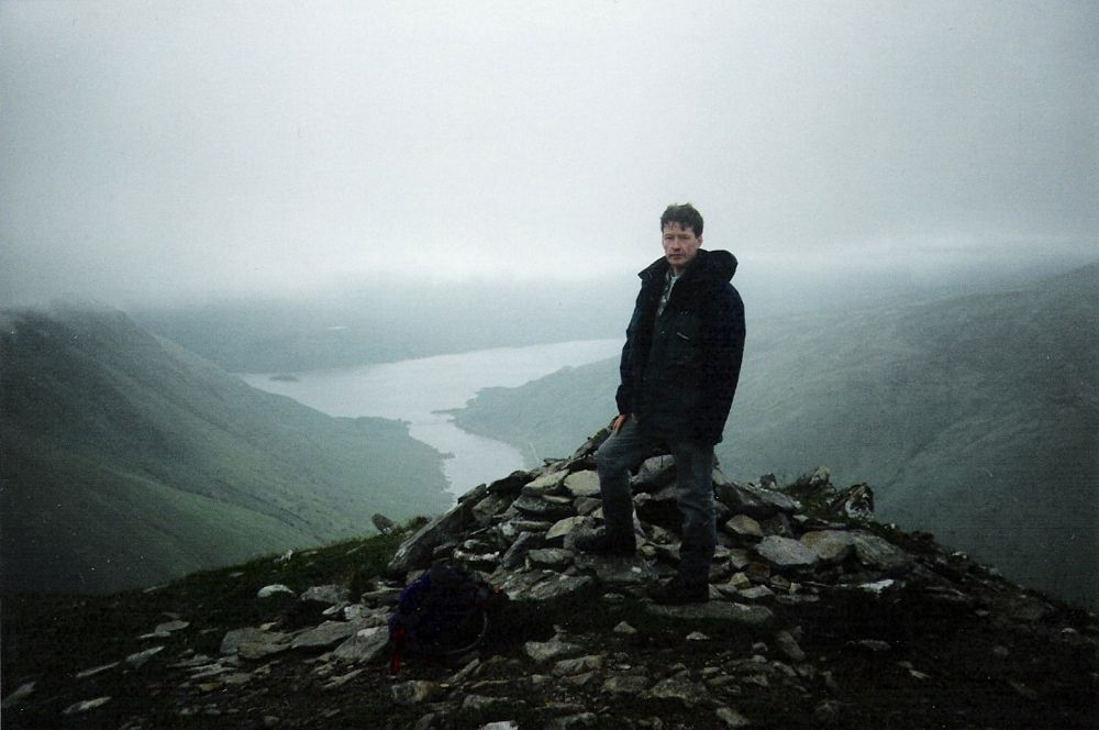
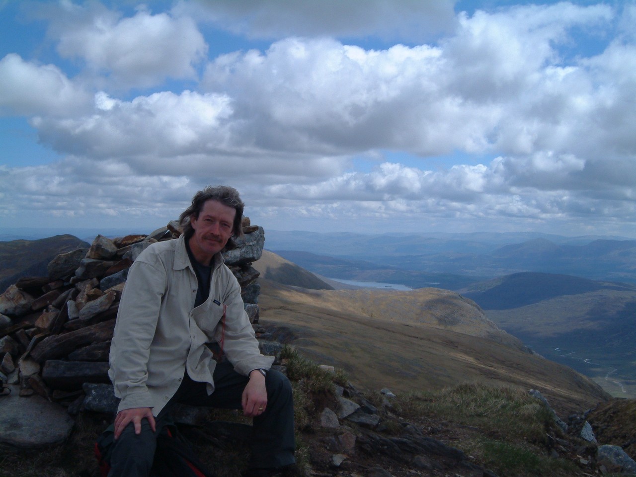
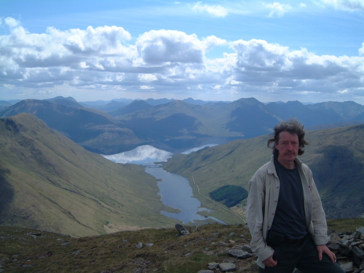
Aonach Air Chrith Maol Chinn Dearg Map We picked these from Ralph Storer's book '100 Best Routes on Scottish Mountains'. They're two Munros midway along the South Shiel ridge. What we should have done is ignore RS, start at one end and walk along the whole ridge, which is actually what I did do 13 years later - see here. Never mind. Saw some deer. It was cloudy at the top with only a few brief moments clear enough to see anything.
And here are the summit shots, along with their equivalents from 13 years later:
That night we stayed at Fort Augustus. 645 mile drive back: Fort Augustus / Manchester / Birkenhead / Ware | |||||||

 | |||||||