Beinn a Chaorainn
Beinn Teallach
Map
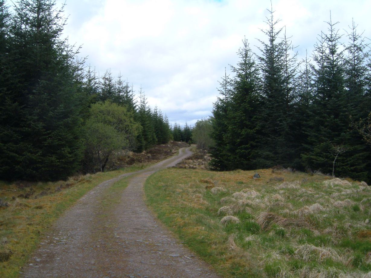
I parked the car in the small layby at Roughburn (a couple of farm buildings) and started
up the gentle incline of the forestry track at 12.10. I followed it NW at first and then
due east before eventually turning north via a firebreak in the trees to reach open grassy
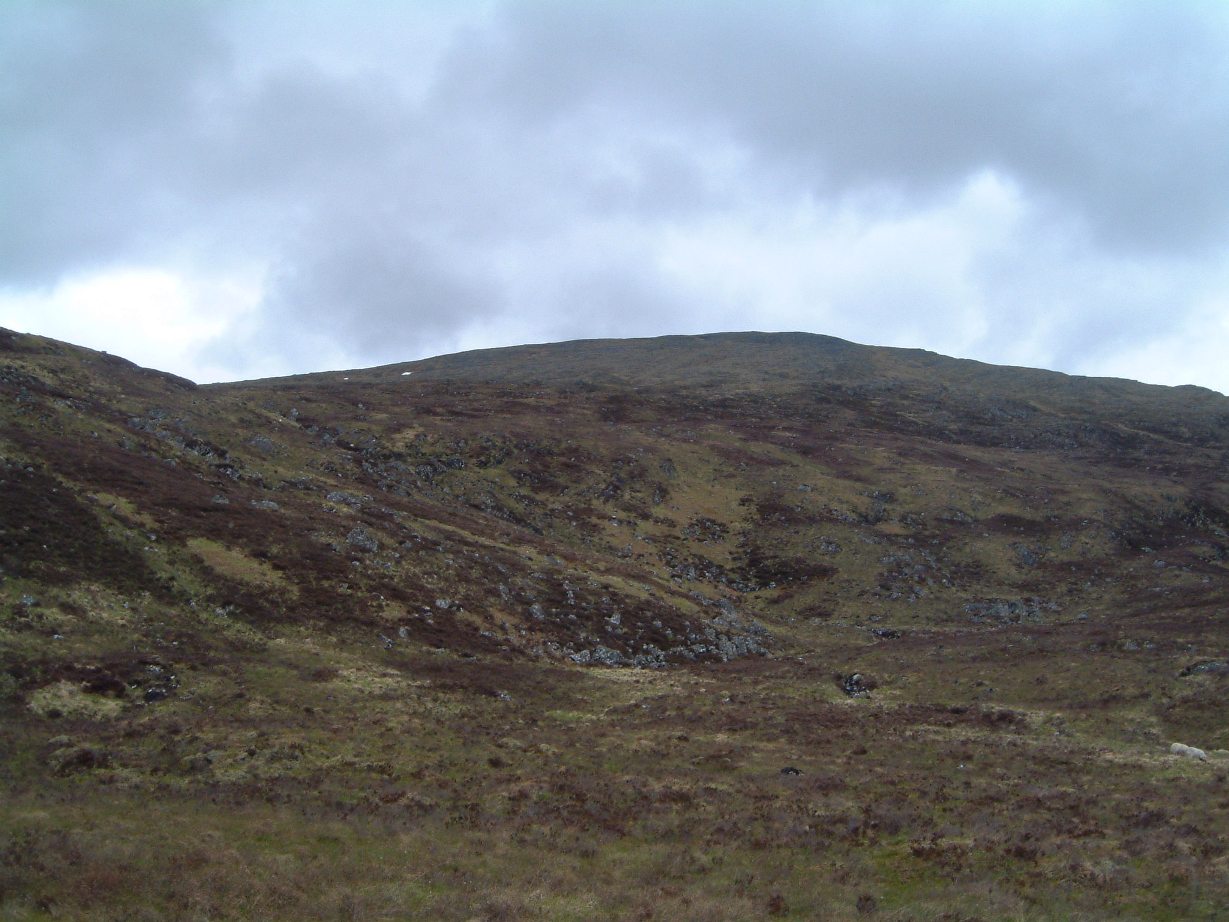
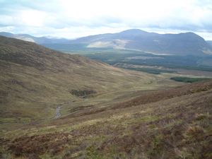
moorland. To the north were the lower slopes of Beinn a Chaorainn, drained by three main streams.
I headed towards them, crossing over a gently rising bit of moorland then climbing up a grassy
hillside dotted with a few small rocks, aiming roughly for the source of the 3 streams.

The forestry track
|
Beinn a Chaorainn
|
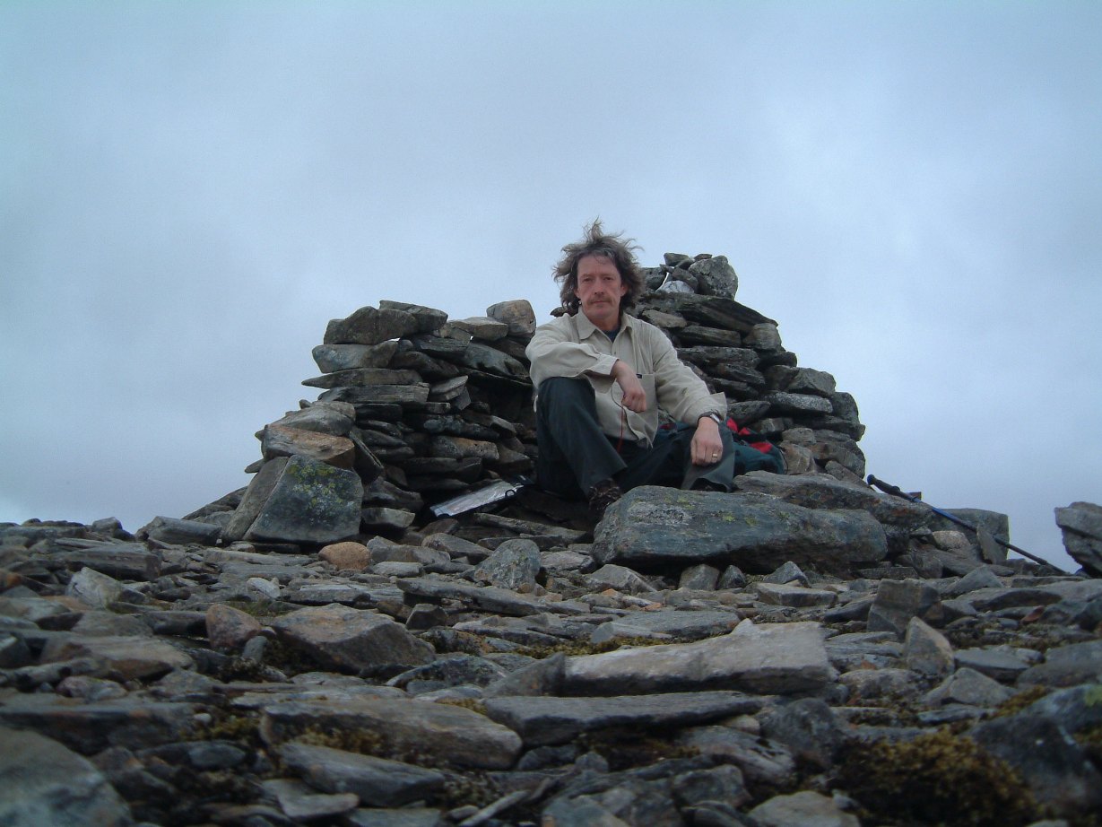
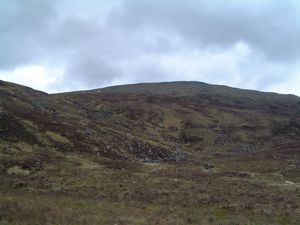
It was a trouble-free ascent and I reached the flattish summit at 14.15 - there's a
cairn-cum-windbreak there, set in the middle of a boulder field. Beinn a Chaorainn has
3 tops, of which this one, the southernmost, is the highest.
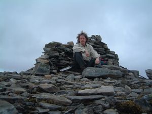
Summit of Beinn a Chaorainn
|
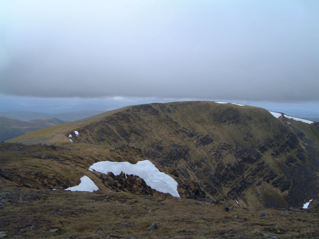
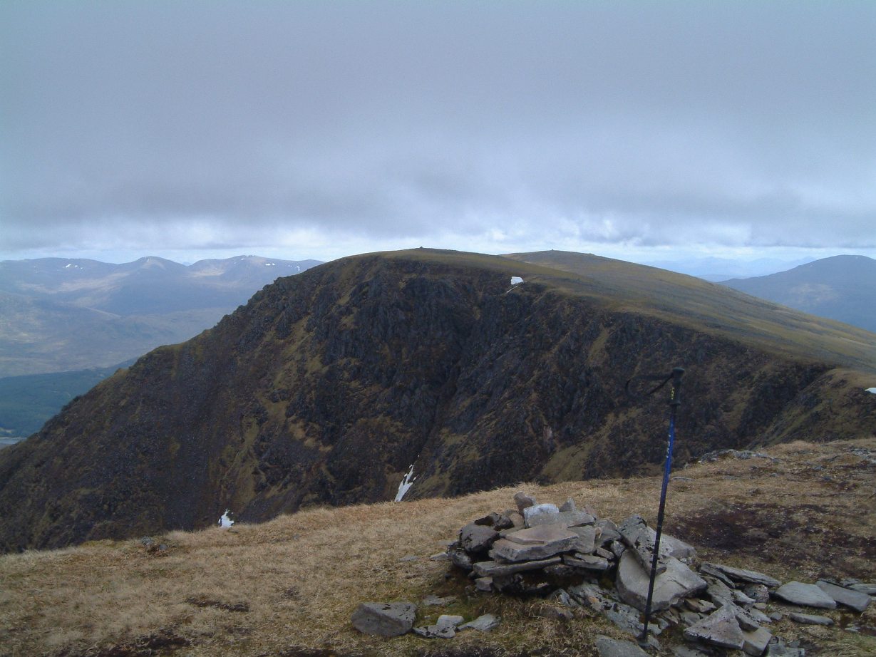
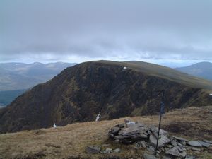
I continued on to the next two
tops over a wide, rounded ridge of grass and rocks. Easy walking but with some steep crags
to the eastern side.

The northern top from the middle top
|
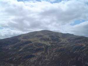
Looking back from the northern top
to the first two tops
|
Then from the northern top I angled NW down the hillside towards the
cairn at Tom Mor which is the mid point between Beinn a Chaorainn and Beinn Teallach.
As I set off an RAF fighter came barrelling along the valley between the two hills - passing
several hundred feet below me!
It was a bit boggy between the two mountains, very reminiscent of the
Meall Glas-Sgiath Chuil terrain I'd traversed earlier in the year. I found a path near the
bottom and it was a bit easier then - though not really difficult before that.
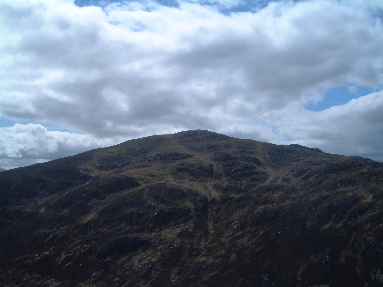
From Tom Mor it was an easy walk up to the top of Beinn Teallach, reaching the summit at 16.15.
Beinn Teallach
|
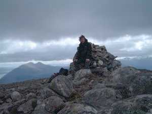
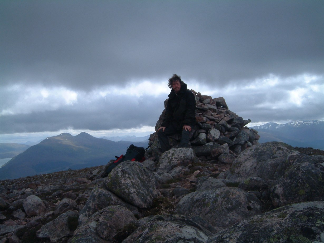
Summit of Beinn Teallach
|
I absorbed the scenic grandeur, had a snack, took a photo and set off back down at 16.30,
heading south over heather. An easy, gentle descent eventually joining up with a track
leading down by the river, the Allt a Chaorainn, back to the forest and the track by which I'd ascended.
The route back
|
Back at the car 18.10.
|